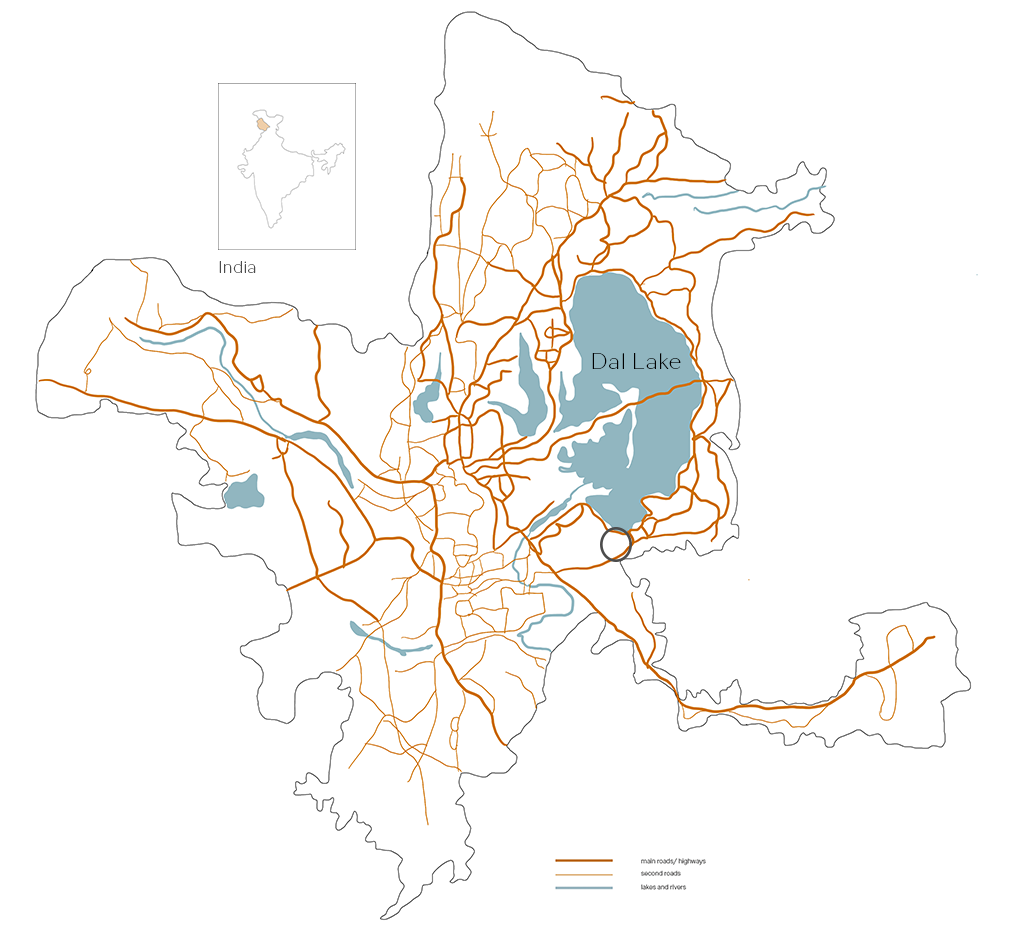
map of Srinagar (India) with street hierarchy
Location and greenery planning
Srinagar lies on the banks of the Jhelum River and is surrounded by the famous Dal Lake and the majestic Himalayan mountain ranges.
It is at an altitude of approximately 1585 meters ( 5200 feet) above sea level, giving it a temperature climate characterised by warm summers and cold winters. The city experiences heavy snowfall during the winter months, which often leads to temporary disruptions in transportation and daily life.

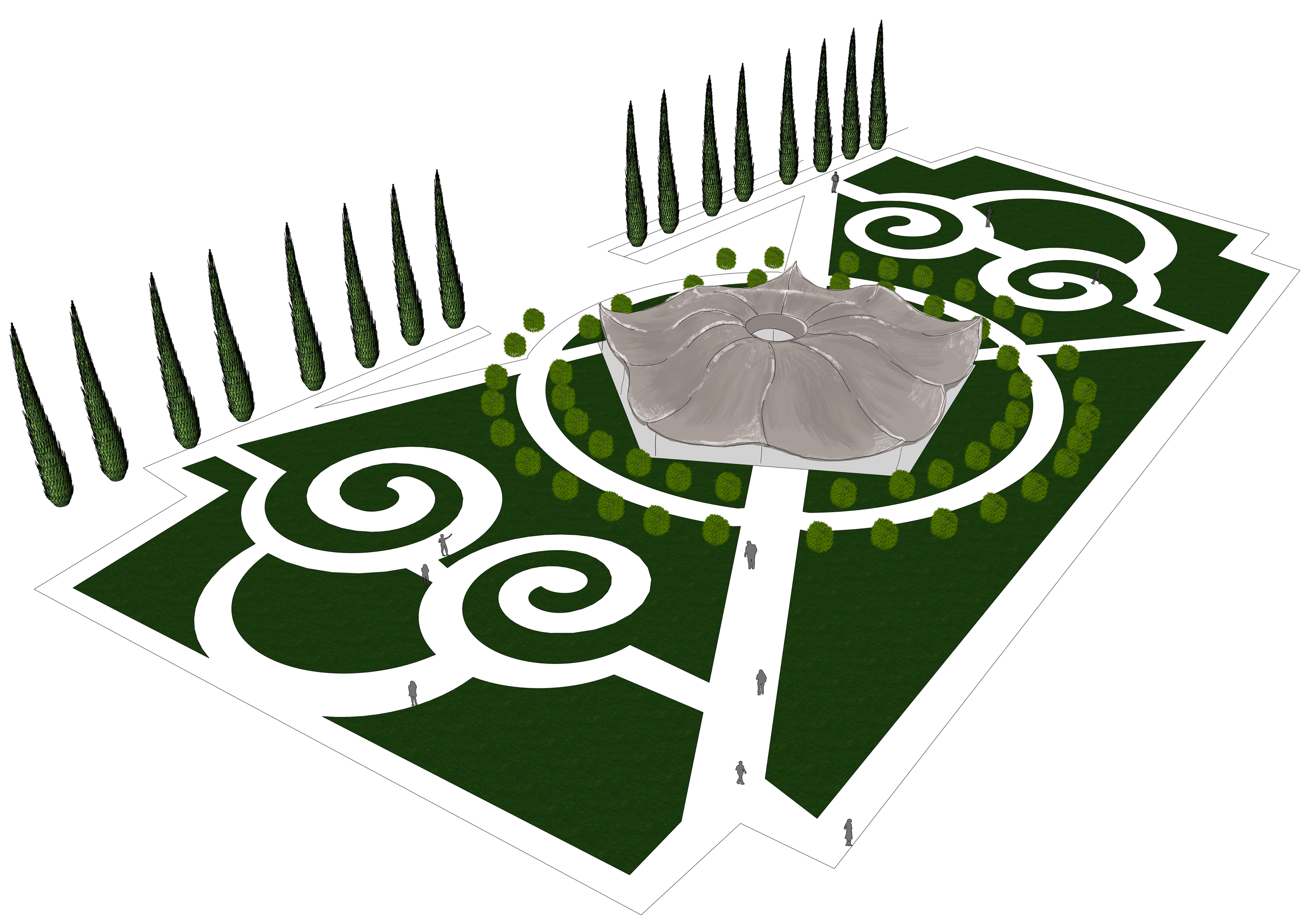
greenery planning map by Sand& Birch Studio
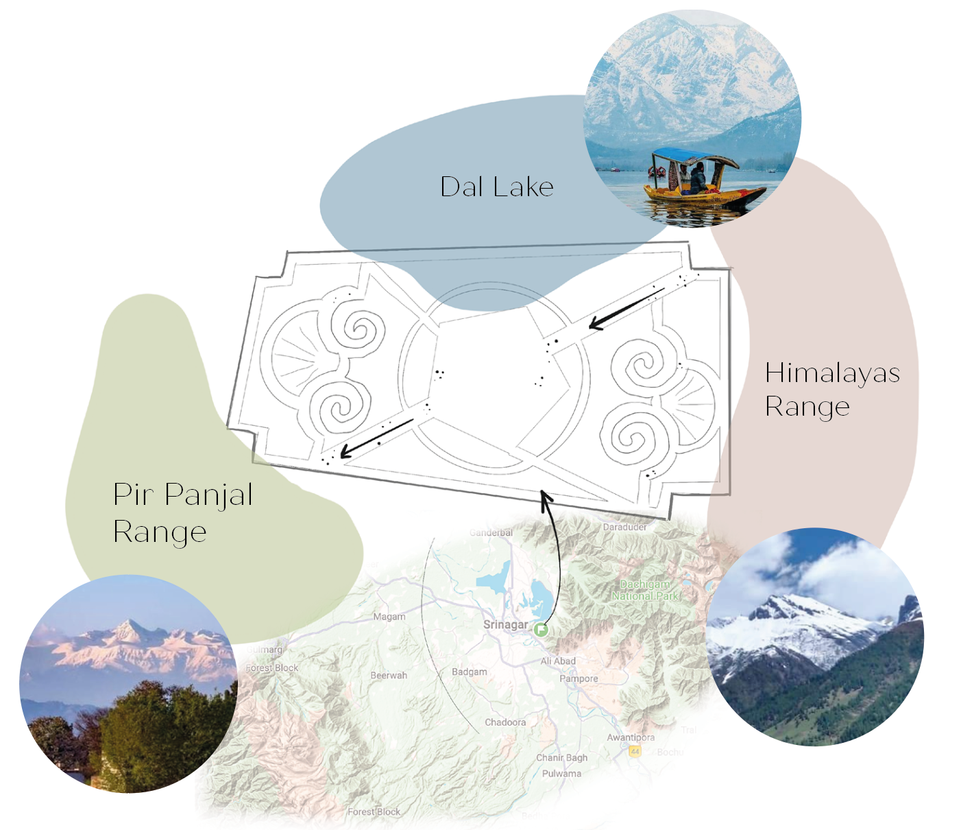
natural wonders with the French garden's plan